Pak becomes first to use multi-spectral imagery to map crops
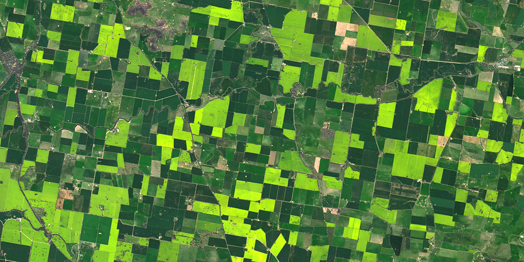
LAHORE: According to the Punjab Information Technology Board (PITB) chairman Dr Umar Saif, Pakistan has become the first country in the world to use multi-spectral imagery through a remote sensing satellite to prepare maps of crop type and acreage.
The technology will be used with a 10-meter resolution through UK Satellite Sentinel 2 A to determine the type and health of crops, moisture in the soil and to predict the quantum of production, Dr Saif, the chairman of Punjab Information Technology Board (PITB), reported the Express Tribune.
The use of satellites is advantageous as it can generate a systematic and repetitive coverage of a large area and provide information about the health of the vegetation.
Dr Saif further said that Pakistan would no longer depend on foreign assistance for crop mapping. In the past, the process required the use of android phones to report GPS location as Google gives three-meter resolution in black and while Satellite Sentinel 2 A, which passes over Pakistan space once in a week.

Our monitoring team diligently searches the vast expanse of the web to carefully handpick and distill top-tier business and economic news stories and articles, presenting them to you in a concise and informative manner.
View all articles →4 Comments
No comments yet. Be the first to join the discussion!